Difference between revisions of "File:Hackspace-map.png"
Jump to navigation
Jump to search
Davidhayward (talk | contribs) (Map of useful stuff near the hackspace. Made with data from Open Street Map, CC-BY-SA license.) |
Kimjonggill (talk | contribs) (uploaded a new version of "File:Hackspace-map.png": Map of the area surrounding the Hackspace.) |
Latest revision as of 13:59, 19 August 2012
Map of useful stuff near the hackspace. Made with data from Open Street Map, CC-BY-SA license.
File history
Click on a date/time to view the file as it appeared at that time.
| Date/Time | Thumbnail | Dimensions | User | Comment | |
|---|---|---|---|---|---|
| current | 13:59, 19 August 2012 | 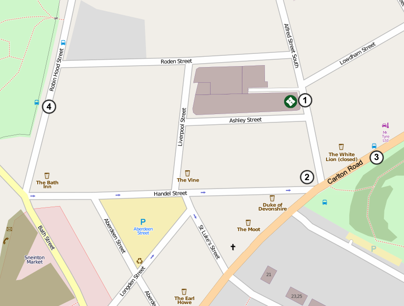 | 825 × 625 (154 KB) | Kimjonggill (talk | contribs) | Map of the area surrounding the Hackspace. |
| 12:37, 6 July 2011 | 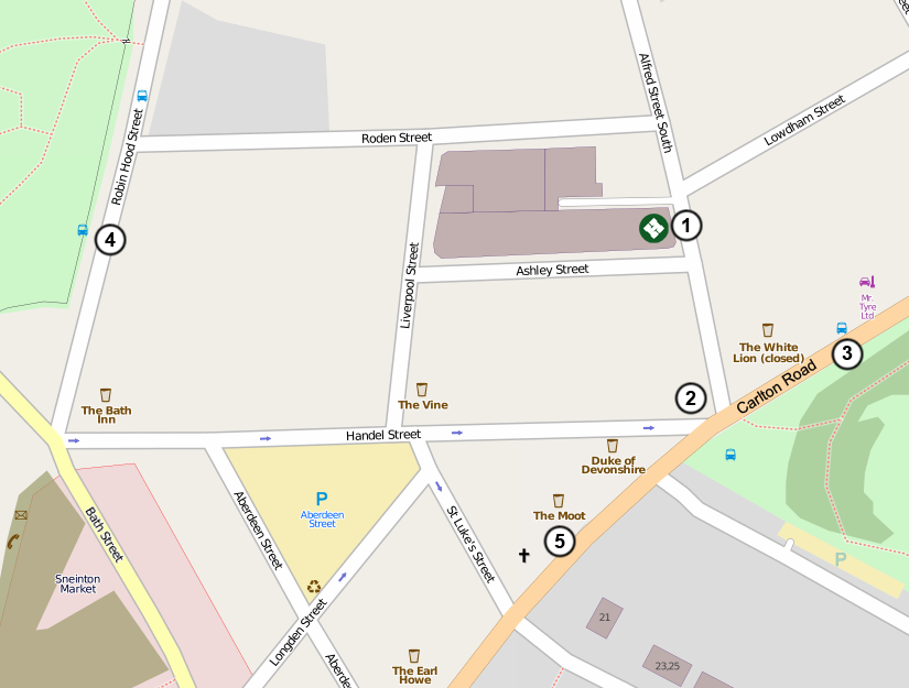 | 825 × 625 (131 KB) | Davidhayward (talk | contribs) | Map of useful stuff near the hackspace. Made with data from Open Street Map, CC-BY-SA license. |
You cannot overwrite this file.
File usage
There are no pages that use this file.