Difference between revisions of "CNC UK Heightmap"
Jump to navigation
Jump to search
| Line 31: | Line 31: | ||
File:UK Heightmap (9).jpg|Painted map | File:UK Heightmap (9).jpg|Painted map | ||
</gallery> | </gallery> | ||
| + | |||
| + | [[Category:CNC Projects]] | ||
Revision as of 21:04, 27 December 2019
| CNC UK Heightmap | |
|---|---|
.jpg) | |
| Primary Contact | Dan Spencer |
| Created | 18/12/2019 |
| Completed | 20/12/2019 |
| Status | Complete |
| Type | Members Project |
| QR code | |
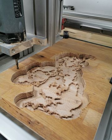
I found a website called Terrain2STL and used it to produce this topographic map of the UK.
Toolpaths were programmed from the STL file in Fusion 360. The toolpaths used were: Adaptive Clearing & Parallel.
.jpg)
Gallery
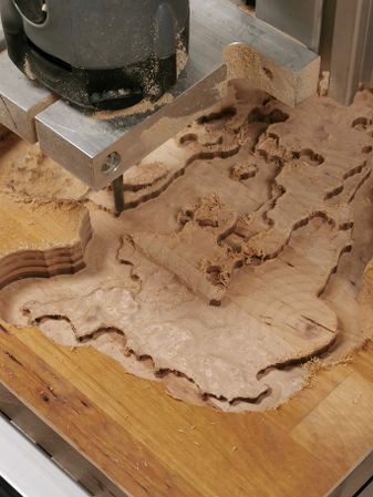
Rough Cut (Adaptive Clearing)
Rough Cut (Adaptive Clearing)
Finishing Cut (Parallel)
Finishing Cut (Parallel)
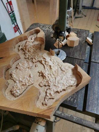
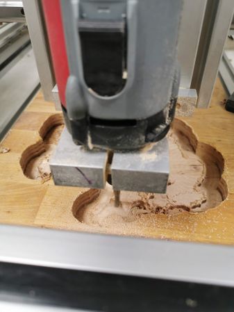
Trimming on the Bandsaw
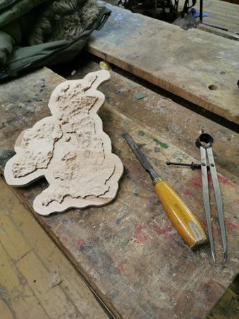
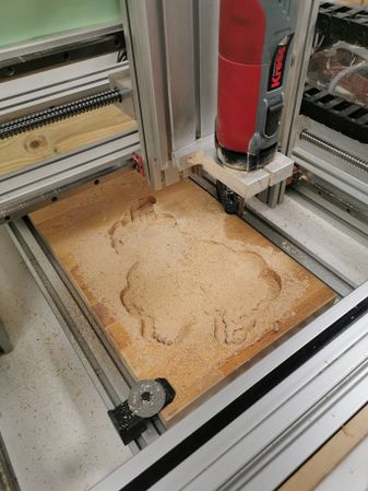
Sanding and manual correction
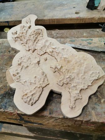
Completed bare wood
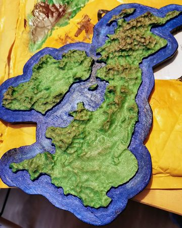
Painted map

Painted map
.jpg)
.jpg)
.jpg)
.jpg)
.jpg)
.jpg)
.jpg)
.jpg)