CNC UK Heightmap: Difference between revisions
Jump to navigation
Jump to search
No edit summary |
No edit summary |
||
| Line 17: | Line 17: | ||
Toolpaths were programmed from the STL file in [[Fusion 360]]. The toolpaths used were: Adaptive Clearing & Parallel. | Toolpaths were programmed from the STL file in [[Fusion 360]]. The toolpaths used were: Adaptive Clearing & Parallel. | ||
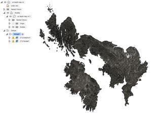
[[File:UK Heightmap (10).jpg|300px|thumb|left|Fusion 360 was used to produce the toolpaths]] | [[File:UK Heightmap (10).jpg|300px|thumb|left|Fusion 360 was used to produce the toolpaths]] | ||
{{clear}} | |||
==Gallery== | ==Gallery== | ||
Revision as of 04:36, 26 December 2019
| CNC UK Heightmap | |
|---|---|
 | |
| Primary Contact | Dan Spencer |
| Created | 18/12/2019 |
| Completed | 20/12/2019 |
| Status | Complete |
| Type | Members Project |
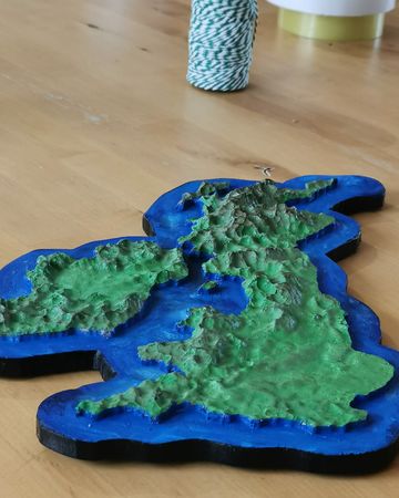
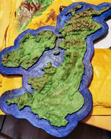
I found a website called Terrain2STL and used it to produce this topographic map of the UK.
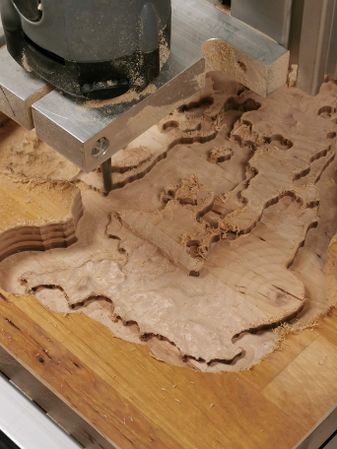
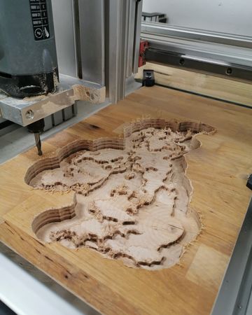
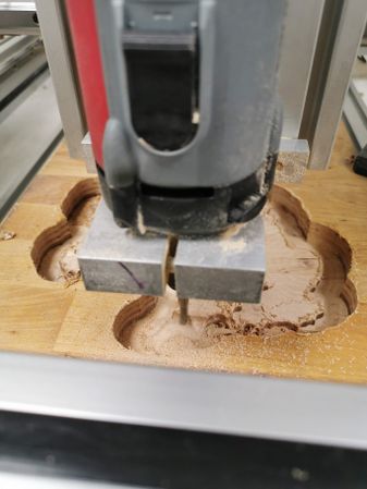
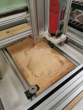
Toolpaths were programmed from the STL file in Fusion 360. The toolpaths used were: Adaptive Clearing & Parallel.
Gallery
-
Rough Cut (Adaptive Clearing)
-
Rough Cut (Adaptive Clearing)
-
Finishing Cut (Parallel)
-
Finishing Cut (Parallel)
-
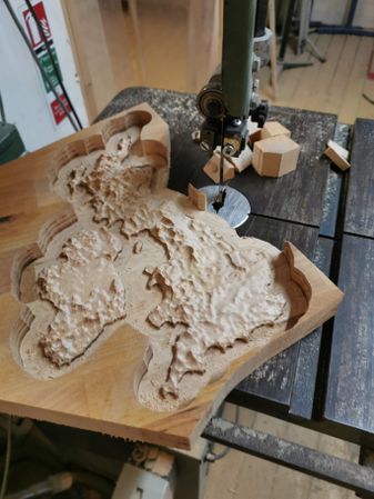
Trimming on the Bandsaw
-
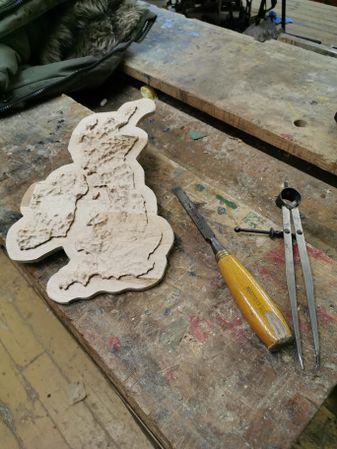
Sanding and manual correction
-
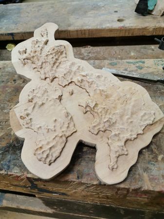
Completed bare wood
-
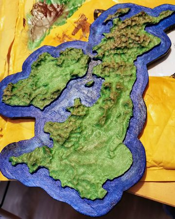
Painted map
-
Painted map
