CNC UK Heightmap
| CNC UK Heightmap | |
|---|---|
.jpg) | |
| Primary Contact | Dan Spencer |
| Created | 18/12/2019 |
| Completed | 20/12/2019 |
| Status | Complete |
| Type | Members Project |
I found a website called Terrain2STL and used it to produce this topographic map of the UK.
Toolpaths were programmed from the STL file in Fusion 360. The toolpaths used were: Adaptive Clearing & Parallel.
.jpg)
Gallery
-
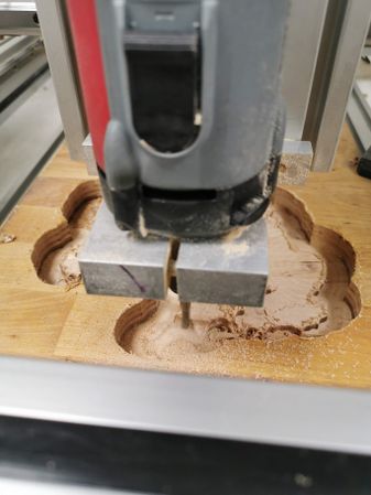
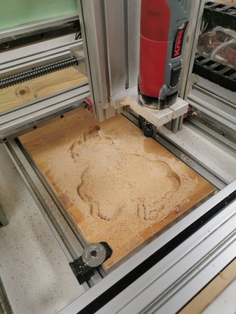
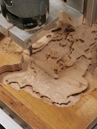 Rough Cut (Adaptive Clearing)
 -
 Rough Cut (Adaptive Clearing)
 -
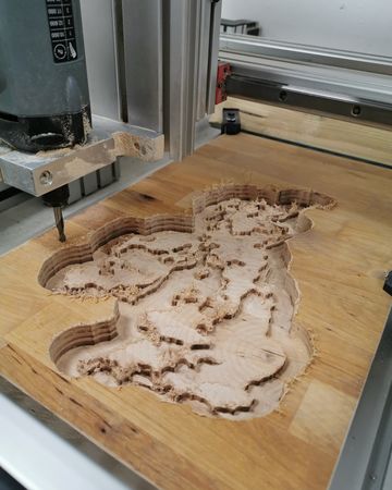
 Finishing Cut (Parallel)
 -
 Finishing Cut (Parallel)
 -
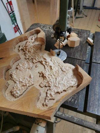 Trimming on the Bandsaw
 -
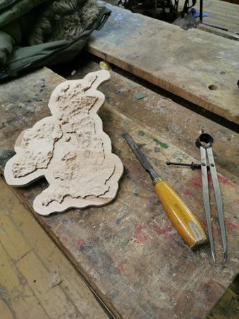 Sanding and manual correction
 -
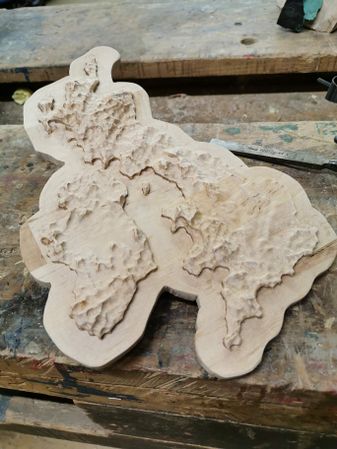 Completed bare wood
 -
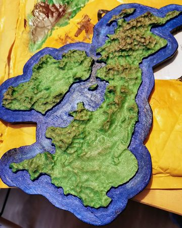 Painted map
 -
 Painted map
.jpg)
.jpg)
.jpg)
.jpg)
.jpg)
.jpg)
.jpg)
.jpg)